Monday, October 15, 2018

An Unpaid Political Announcement...

As the time ticks off to America’s next appointment for unbridled angst, (November 6th. Election Day). Please consider this.

If you want our Government to be greater than a covey  of rich, entitled, angry White men creating unpopular policies. Vote. 

If you want to preserve wild areas for future generations. IE: Bear Ears and Grand Staircase/Escalante National Monuments. Vote.

If you believe all lives matter. Vote.

If you are tired of “Fake News” and “Alternative Facts.” Vote.

If you believe politicians shouldn’t be concerned whether Black or White athletes exercise their First Amendment Rights. Vote.


If you DON’T believe that when you smash your I Phone screen, blow up your vehicle’s engine, or cut off a portion of your thumb (I’m guilty of all three), it’s Obama’s fault. Vote.

If you believe all women should have the right to say “NO!” Vote.

If you DON’T believe Alt-Right American Neo Nazis are “Fine People.” Vote.

If you prefer America the Beautiful over America the Badass. Vote.

If you’d like to see “reasonable” Gun Control measures in lieu of post mayhem platitudes of “thoughts and prayers.” Vote.

If you wish to see a foreign policy favoring our traditional Allies and not the World’s despots. Vote.

If you believe Climate Change is NOT a “Chinese Hoax.” Vote

If you DON’T believe legislating tax breaks to the super wealthy will “trickle down” to us lowly commoners. Vote. 

If you’d like to see a quick end to the new Dark Ages. Vote.

If you are interested in my most excellent BIGLY Presidential Platform becoming a reality. Vote.
I’ll need a friendly Congress to give the Environment, Education and Enlightenment a helpful boost. 


For those following my Presidential Run and its pursuit of a First Lady, let it be known, my people have broken off negotiations with Melania’s people. After she wore the infamous jacket, there is no middle ground.

Make America Civil Again,
November 6th, 2018 is not the time to sit on the sidelines. Vote!

I’m Jeff Sambur and I approve this message.


Thursday, October 4, 2018

Lessons from Prometheus...


Long before Great Basin National Park was established (1986), a grove of ancient Bristlecone Pines lived where no other trees wanted to. At a cusp under tree line (approx 10,500’) a few hardy woody souls survived the incessant winds, blizzards, heat waves, droughts, diseases and fires for thousands of years. They were eking out an existence and not bothering anyone.

As we all know, it doesn’t matter if you don’t bother anyone, someone comes along and bothers you! That someone was Donald R. Curry, a graduate student researching the Little Ice Age. In 1964, he was drawn to these remote Bristlecones for their known longevity. The story gets murky here. Donald was taking core samplers when supposedly his tree corer got stuck. The Forest Supervisor granted him permission to cut the specimen in order to extricate the core. When the short work was done, they apparently looked at the cross section. “OH! Poop! We probably cut down the oldest living thing in the World! I hate when that happens!” Those words weren’t exact quotations, although I’m sure it was something along that line.


Knowing all this, I would have gladly bought Donald a new $211 core from Amazon, if he would have just let the tree be! 

That Bristlecone was Prometheus. The gnarly Dude was about 5,000 years young.

Here’s one of the lessons from Prometheus. Young Donald didn’t try to cover up his obvious mistake. His name, the story and the controversy are out there. Later in life Doctor Donald spoke up for establishing a National Park to protect and preserve the grove and surrounding area. That was his Act of Contrition. (Another take on Jewish Guilt). Paying penance is a form of humility, and humbleness. 

So today, I braved black ice, White Death and slush to pay my respects to the Old Timer’s left behind. I walked in silence amongst the Elders. I felt humbled by their ability to bend yet not break. I was awed that even in Death, they make a handsome photo. (A Bristlecone corpse can stand for centuries, unlike the “ashes to ashes, dust to dust” life forms.) 


I returned to my warm van, knowing Humans have a lot to learn about Life and Death. Maybe we all need to remember to look at the Big Picture, Long View on how we impact each other and Mother Earth. 


I suggest going on a Whale Watch, taking a swim with a Green Sea Turtle or hugging a Redwood or an Ancient Bristlecone for a dose of humility and humbleness. It might make the Human Race better Guardians of our Planet.


From Chilly Baker, Nevada (population 68)

Cheers and always respect your Elders,
Jeff

BTW. The two oldest surviving Bristlecone Pine trees now reside in the White Mountains of Inyo National Forest. Forest Service employees won’t rat out their exact locations. One of the trees has been lovingly named Methuselah. It’s worth a look and a hug. 

Tuesday, September 25, 2018

Steens Mountain is a misnomer...

Wikipedia calls Steens a “large fault block.” You can see it for yourself in the desolate high desert of southeastern Oregon. To me, its a mountain like no other. 

I’m a mostly Coloradoan/New Yorker. I know BIGLY things about what a mountain should look like. To my trained eye, Steens was a series of ridge lines, some attached and horseshoe shaped. Others sitting alone hermit-like (similar to me).

 On the west side, there were scooped out gorges with rivers spouting out of them. The waterways had Santa’s reindeer names: Donner and Blitzen. A few others gave credit to the locals before the White Guys appeared: Big and Little Indian. All that gurgling liquid ends up in America’s Great Basin going nowhere. To the east,  Steens free falls over 4,000’ into the Alvord Desert. 


Its ’s a place designed by a landscape architect high on LSD. Steens is strangely beautiful. 

After a 300 mile drive, I pulled into the hoity toity sounding Steens Mountain Resort. (Three miles past Frenchglen, population 12 or so). It was a well kept and orderly campground. My only complaint was the father and son neighbors who played techno music during daylight hours. (I truly believe techno was invented for people who fear quiet). Blissfully for me, they left in the morning. I decided to stay a second night. 

I took a stroll up nearby Donner and Blitzen River. I left Benedict Arnold the Van (formerly known as Barley the Van) behind at the resort. We needed some downtime. The route wasn’t particularly awe inspiring but it was empty of people. In ten miles of hiking I came across one binocular bearing birder and a retired couple walking their puppy.  It was perfect.


The next morning, I drove uphill. The Steens Mountain Loop Road is deceiving. It’s a mellow grade on a washboard gravelly road to the summit. In twenty miles of so, I ascended over 5,000 feet. The dusty, smoky views were outstanding. All the above mentioned gorges were seen from the topside looking down. There was Wild Horse Lake too. After playing tourist, I plunged down along a ridge line towards South Steens campground. While I was setting up my humble home for the night,  my large nose caught a whiff of Benedict’s overheated brakes. Deceivingly steep. 


There was an ample supply of sunshine left so I headed off to Big Indian gorge. Once again, the scenery was worth a look-see. Once again I saw less than a handful of humanoids in double digit miles. It was a fine day, topped off in a clean, comfortable and easy of the wallet campsite. The few neighbors I had understood the Three Sacred S’ of car camping. Space, Solitude and Silence.  God Bless Them.


I was up and at ‘em at first light. I wanted to get a hike in before departing Steens Mountain. I decided to go uphill for an overlook of Little Blitzen Gorge. I crossed the river and hit the Fred Riddle trail. Propelled by two pots of coffee and a morning massaging sun, I made good time. I passed a hard working trail crew consisting of young adults wearing hard hats. They were upgrading this slightly used trail to accommodate the “I’d rather ride a horse, than wear trail runners” locals. 


Which brings up a point. Steens Mountain is a “Cooperative Management and Protection Area.” The Bureau of Land Management describes it this way, “ It’s approximately 500,000 acres of private and public land offering diverse scenic and recreation experiences. The CMPA encompasses deep glacier carved gorges, stunning scenery, wilderness, wild and scenic rivers and a way of life for all who live there.” 

Good things happen for all when Public and Private interests decide to play nice.

Steens Mountain is adjacent to Malhuer National Wildlife Refuge. The Wildlife Preserve is infamous as a place where a few misguided miscreants decided to become aggressive hemorrhoids to the Feds.

The High Country Times explains a “Don’t Thread on Me” attitude escalating to gunplay with tragic results. Please take the time to read.


Now I’ll state my own opinion. 

The Hammonds and the Bundy’s and their ilk, deserve to be allowed in one piece of Federal Property-a Penitentiary.

BTW. The Commander in Chaos and Anarchy pardoned the Hammonds who were serving time for arson. I suppose like the Nazi Wannabes in Charlottesville, VA, they too are “Fine People.”

Go see the Steens and thank those cooperating local ranchers who recognized a beautiful place in the Big Picture of things. 

From Yosemite National Park and all is peaceful,

Jeff


Tuesday, September 11, 2018

The Nimíipuu made me do it..

Joseph, Oregon                 

In 2005, it was in this more-than-this-out of the way place where I began bicycling  the Nez Perce National Historic Trail. A journey that took me through Oregon, Idaho, Wyoming and the Nez Perce’s finale in the Bear Paw Mountains of Montana. This Native American history lesson covered 1,900 road miles. Back then, I was a cycling fanatic instead of a hiking, IPA drinking fanatic. (In another era I pedaled over 100,000 miles in a ten year span). 

The Nez Perce story is a sad one. It’s about an inspiring Leader (Chief Joseph), broken treaties, chase scenes, multiple battles, death and capitulation in the low lying wind swept Bear Paw Mountains. In August, 1877, the Nez Perce were captured just short of their Promised Land. Canada. 


To this day, that ride was one of the most interesting and exciting adventures I ever completed. 

Of course, I wrote a story about it. For $3.00 you can purchase the complete work on Kindle. 
Here’s the link: 

https://www.amazon.com/Wandering-Jew-Pursues-Nee-Me-Poo-ebook/dp/B007HQXI86


Joseph, OR is the official National Park Service starting line of the Nez Perce Historic Trail. Thirteen years ago, I took a rest day here to take in all things Nez Perce related and to get a glimpse of the nearby Eagle Cap Wilderness. I ambled up Wallowa Trail wearing uncomfortable bicycle touring shoes. I saw lots of mountains. They were teasing me to take a closer look. I knew I’d return one day. 

I arrived just prior to the long Labor Day weekend. Bad timing on my part. 


I was fortunate to score a campsite in an RV Park owned by a few Stoners. (Not that there’s anything wrong with that, but is it asking too much for them to empty the garbage cans or clean the bathrooms?) I was told I could stay for a few nights, but had to leave on Saturday and Sunday. They were booked up. 

This provided me with an excuse to load my backpack and head uphill. But first, I needed some locals hiking advice. I purchased a Eagle Cap Wilderness map to bring with me to the US Forest Service office. It was a busy place. I wasn’t the only hiker in remote Northeast Oregon. I waited my turn.  


After a smile and a cheery “Good Morning!” I got down to the point, (there was a queue forming behind me), “What area will I find the highest concentration of Alpine scenery?” This wasn’t the first time she heard this question, “Lake Basin. But with the Labor Day Weekend, it’ll be crowded. The Eagle Cap Wilderness has been discovered.” 

Indeed it had been. Early on the Saturday of the Long Weekend, I drove to the end of the Wallowa Road. The official trailhead parking lot was full. I found a pull off on the side of the road  about a quarter mile away. Now my challenge would be scoring a campsite. Off I went at a highly caffeinated clip. My goal was Horseshoe Lake about nine miles away. I passed many hikers with the same idea in mind. 

The first six miles of the hike is in the Wallowa River Canyon. A steep sided place where the summer sun is seldom seen. The hike wasn’t all that interesting among the trees with mere glimpses of the river. At Six Mile Meadow I turned hard right and plunged across the waterway. From that point, I had three miles of uphill along a series gentle switchbacks. As usual, the views improved exponentially. 


When I made Hourglass Lake, I crossed over a logjam to a tiny peninsula. I looked left, right, behind and in front of me. No tents! For two nights, I would occupy (without bad intentions) a Federal piece of lakeside property. Perfect. It was noon. I spent the rest of the day, watching potential squatters hike by and trout rising up for flies. A great start for my weekend. 

I woke to a mirror glass reflection of nearby Hurricane Ridge. After eating a humble breakfast washed down with two Starbucks shots, I packed for the day. My goal was the namesake of the Wilderness: 9,573’ Eagle Cap Peak. A nearly 14 mile round trip hike.


I strolled by a series of Lakes: Lee, Douglas, Moccasin and Mirror. The closer I got to Mirror Lake the higher the concentration of tents and backpackers there were. It was getting on to RV Park packed. That’s a lot of people in a small area. (At Hourglass, I had three neighbors spread out over a half mile. Not bad.) 

The flat summit of Eagle Cap was a small mob scene with a few snarling dogs. I snuck off to a scenic side for a bit of quiet. The Wallowa Mountains aren’t the punk spiky prominences one might find in the Sawtooths of Idaho, or the Wind River Range of Wyoming or the Sierra Nevada’s of California. Most seem rounded and approachable. From my vantage point, they looked user friendly and somewhat bucolic, although getting to them would require plenty of sweat labor. Remember those steep sided glacier created canyons. All in all, I gave the Wilderness two-thumbs up. It’s a beauty. 


Now I’ll attempt to make a point: Eagle Cap Wilderness is not easy to get to. The main trailhead is literally at the end of a long, thin, twisty two lane road. There are no population centers nearby. The closest is Boise (over 2.5 hours away). The furthest is Seattle (more than 5 plus hours away). Yet people come. Many Americans and Passport bearing visitors lust for Wilderness. They will spend time, energy and money in their efforts to visit these special places. This is the BIGLIEST reason why removing acreage from preservation/conservation status (IE: Grand Staircase/Escalante and Bear Ears National Monuments) is short sighted and just plain STUPID. 


This is what I’m learning about Public Land. Create/Protect or Preserve it and People will come. Oh Yes! People will come. Saving Wild Lands for present and future generations is BIGLY smart and the right thing to do. 

Read more about this concept. 


Chief Joseph and the Nimíipuu would approve of this message.

Still waiting for an overpriced new engine for Barley the Van in Chelan, WA.

Jeff


Thursday, August 30, 2018

How to Hug a Redwood...

I’m a tree hugger. That’s probably one of the BIGLY-est reasons I attended Syracuse’s College of Environmental Sciences and Forestry. I reckoned my career path would lead me to many trails of trees. 


In the late 70’s, I worked for the US Forest Service for four seasons. When my co-workers weren’t looking, I’d sneak in an occasional squeeze on a big green specimen. 

Now, I’m gainfully unemployed. I don’t give an empty can of IPA of what others think. 

However, I’m willing to share my secrets with my Billions of WW J blog fans out there. Here’s how it’s done with pictures even! (Photo credit and kudos to Lisa P. Strong Work!)

1) Approach the tree in a friendly manner. A “Hello!” wave Is a great ice breaker.


1a) If you desire a more formal introduction, you can perform the Japanese “Salarymen” method and present a business card first. 


2) After the rudimentary introduction, schmooze a little. I’m partial to the following one-liners:
“Come here often?”, “Nice day if it don’t rain.” and the always popular, “What’s your sign?”


3) When the conversation is on the wane, demurely ask, “Would it be OK if we hugged before parting ways?” (Authentic Tree Huggers always ask first. You don’t want to become infamous as being a “Bark-Grabbing” loser.) 


4) When permission is hopefully granted, lean in with arms extended, close your eyes and thank the Deity of your choice for saving the last remaining 5% of the Old Growth Redwoods left in the World. 


Now here’s  the History Lesson about goodness in people and Government Agencies.

Before the 1920’s, Logging Companies did what they do, shout “Timber!” after making the final cut in the tree. Those Behemoths of Biomass were crashing to the Earth at an Jeff Sambur nano-second rate. (That’s fast!) All that falling Redwood decking and shingles got the attention of good (and rich) concerned citizens and the State of California. 

What did they do? 

I’ll tell you what they did. They began buying up pockets of the precious Old Growth groves left from the lumbermen. Those nice wealthy folks (with an Un-Koch Brothers) conscience, donated the acreage to the state. Their payment was a humble sign proclaiming who purchased the grove. That’s a genuine mitzvah (Good Deed).

Those State of California Dreamin’ bureaucrats bought groves too. Eventually three State Parks were created to preserve the Old Dude Redwoods. 


In the late 60’s, the Feds got involved. They purchased more Old Growth from the logging companies, thus creating Redwood National Park. 

In 1998, California and the National Park Service combined the management scheme into one 132,000 acre State and National Park for all tree huggers.to enjoy. (Regardless of race, creed  or religion.) 

Sadly, less than one third of those salvaged from the brink groves are considered Old Growth. However in about 2,000 years (if left alone) the infant and teenage Redwoods will be the new Green Skyscrapers of the Pacific Northwest. 


So... Teach your children to hug trees. It might impart upon them a desire to preserve the Natural Wonders left in this crazy, money-mad, short-sighted World.

Last photo: This is what a former Redwood clearcut looks like. OK. That’s Fake News. The photo was taken in the John Day Fossils National Monument in the high desert country of eastern Oregon. Trust me though, a Redwood clearcut is NOT as impressive as the Standing Tall variety. Want to get inspired? Go and see for yourself. 


From Strawberry Campground in Malheur National Forest. Good night,
Jeff


Sunday, August 19, 2018

“You’re Living in Your Own Private Idaho”

Song by the B-52’s

I’m in the “Famous Potatoes” State. I wasn’t really planning to be here, but somehow the Wandering Wondering Jew took a detour north. The World works in mysterious ways.

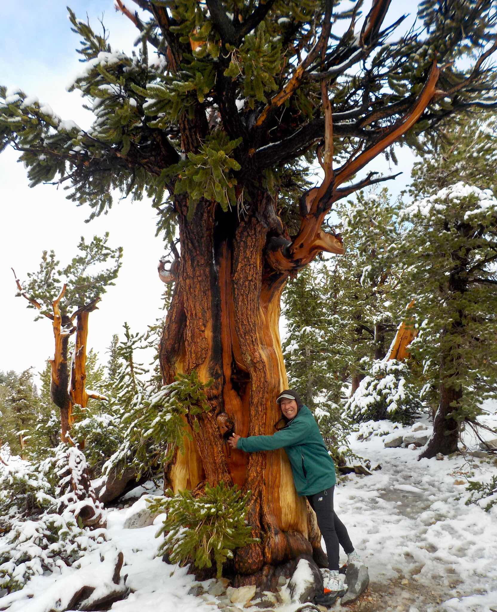
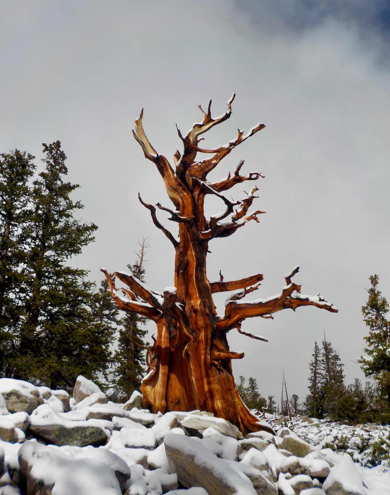
Near Driggs, ID, I hiked to a view of the rear end (or front end, depending on your point of view)  of the Grand Tetons. That was cool, so out came the maps. Hmm! The Sawtooth’s National Recreation Area was sort of nearby. 

Of course, I Googled it, that’s what Wondering people do. (Curiosity didn’t kill the cat, lack of knowledge did!). 

From the US Forest Service: 

“The Sawtooth National Recreation Area (Sawtooth NRA) consists of 756,000 acres of beautiful mountanious scenery. The Sawtooth NRA includes the Sawtooth Wilderness, Cecil D. Andrus-White Clouds Wilderness, and the Hemingway-Boulders Wilderness areas. The Sawtooth NRA has over 700 miles of trails, 40 peaks rising over 10,000 feet and 300-plus high-elevation alpine lakes that add to the spectacular scenery and vistas.”


Yep! I was going in. I drove through Ketchum. A groovy sort of town infamous as the venue where Papa Hemingway committed severe lead poisoning with a shotgun in 1961. There’s a nearby smallish Wilderness named after the Noble Prize winning author. When I asked a local about hikes there, he said “where’s that?” Oh well, maybe he’s never read “A Farewell to Arms.” 

That night, I camped at the USFS Wood River campground. It was perfect. 

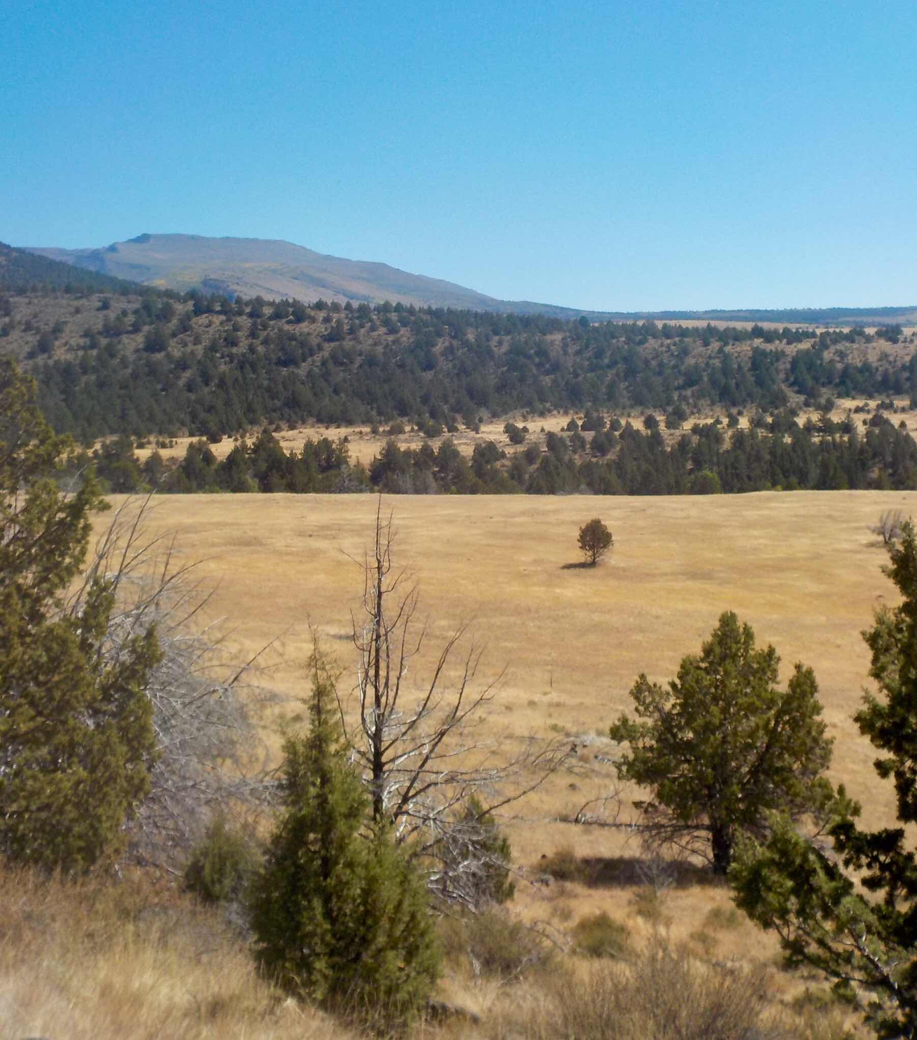
The next morning, I headed up the Amber Lake trail. For whatever reason, the path pulled up short of the promised lake. Another example of Lakus Interruptus. Still a pleasant introductory hike in the Sawtooths though.

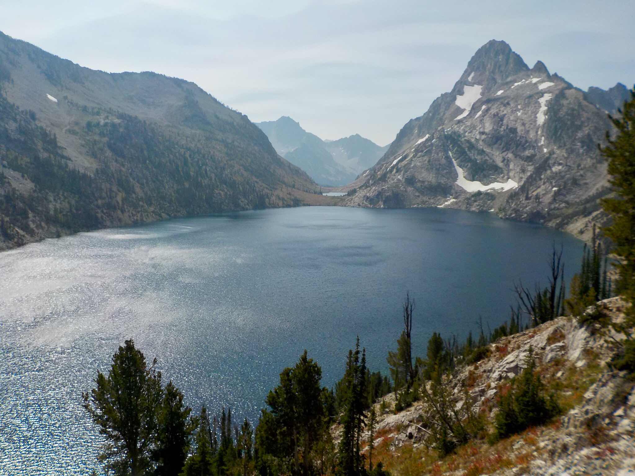
Later, I stopped at the US Forest Service Visitor Center for recreation ideas. Those nice folks told me to do the ten mile Sawtooth Lake hike. The reason? It’s the most photographed spot in the area. See for yourself. Isn’t the lake photogenic even without my grin? 


On a small divide, I ran into backpackers Charley and company. I struck the mother lode of Sawtooth information. He strongly suggested a three night trip into the Sawtooth Wilderness, including seeing the popular Toxaway-Alice Lakes Loop. “Set up a basecamp at Lake Edna for two nights. From there you can day hike up to Cramer Divide AND THEN do a nice six mile loop before returning.” I made mental notes of all of this. 

Upon parting ways, he said, “Don’t tell the people in Colorado about the Sawtooths. It’s Boise’s local playground.” (He’s right. God placed this gem a mere two hour drive from the 756,000 humans residing in the Boise metro area.)

Sorry Charley! I told. If it’s any consolation most of my readers are Russian “Bots” trying to hack into my blog. They haven’t succeeded...yet. 


I packed that night.

As usual, I hit the trail early before my two pots of coffee caffeine high wore thin. I had a goal in mind to settle in a choice spot on the shores of Lake Edna. There were ten miles and one pass in between. I breezed by Lake Edith making good time. Those swell trail builders of Idaho lovingly ,made gentle switchbacks in a steep land. My knees and lungs thanked them.

 Now a note about Sawtooth names: They are old fashioned and comforting, such as, Alice, Vernon, Virginia and the already mentioned Edith and Edna. The names harkened back to simpler times when flapjacks with gobs of butter and syrup were the preferred breakfast. A time when “Father Knows Best.” 


For awhile, I had Lake Edna to myself. By 7ish, I had company on my little peninsula. A youngish gang of six set up nearby. Happily, they were good neighbors. (Demographically speaking, Idaho is a youthful state. The third youngest as of 2012). On this hike, I was the Old Man in the Mountains. The kids were well mannered though, none of them called me “Gramps.” 

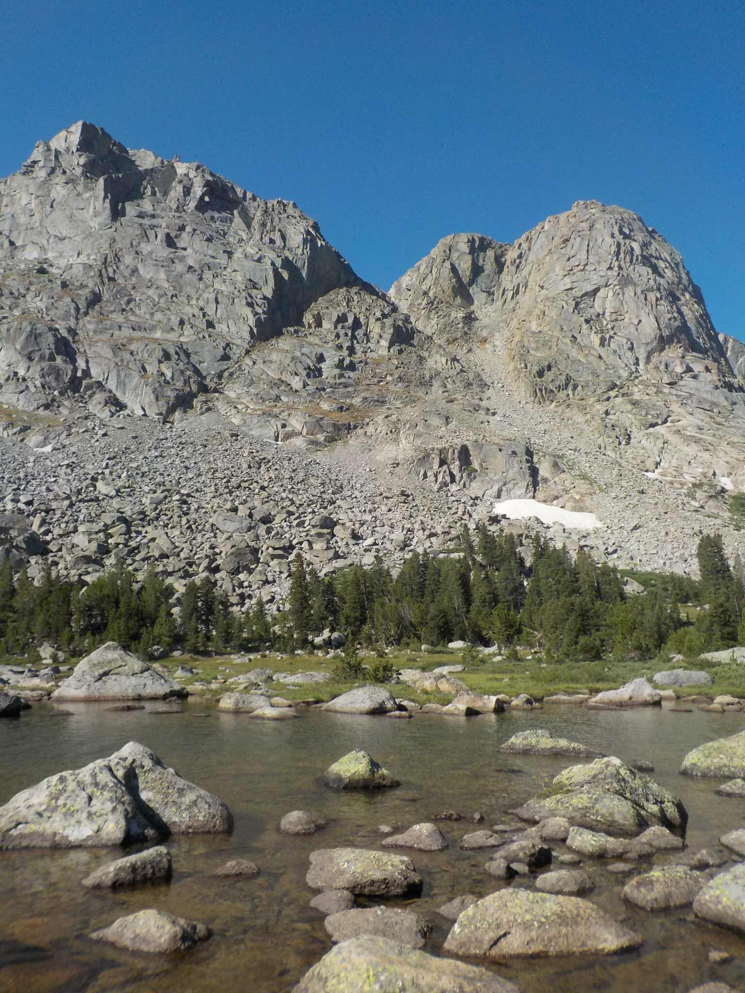
I got out the next morning before the heat was on. It’s been a scorcher summer in the American West. Each of my steps created a mini dust bowl. Making a campfire complete with s’mores was out of the question. It was drier than my three year old Clif Bars. That’s lack of moisture dry. Despite the toasty conditions, I had a fine half marathon hike. Here’s a few pix.


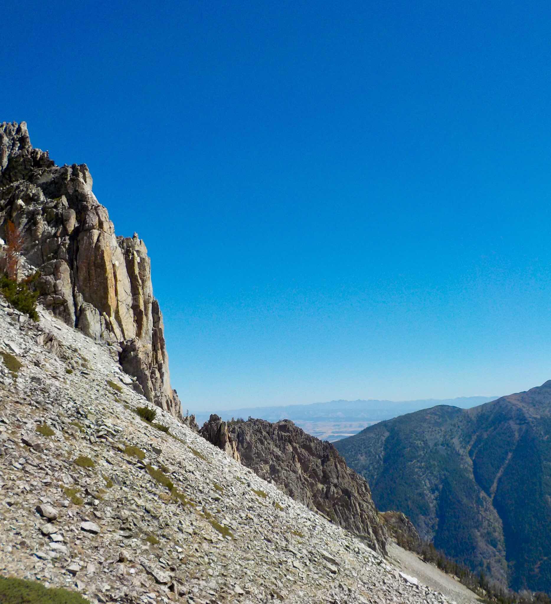
On my third day, I packed up early for my climb to Sand Mountain Pass. From that perch only beautiful views awaited me. Afterwards, down I went to Toxaway Lake. Then  I had to negotiate Snowyside Pass. In my humble opinion, those miles were the most inspiring and perspiring of them all.


At Twin Lakes, I was alone. I had first dibs on a room with a view. Then the hordes came around. Fortunately, everyone was respectful of spacing and quiet time. It was another joyful day.


I headed our early with thoughts of a three egg omelette awaiting me in Barley the Van. I practically trail ran those last seven miles. 

The Sawtooths reminded me of a smaller version of the Sierra Nevada’s of California. The granite peaks, scree and boulders yield the same “Range of Light” qualities. For me, it was love at first light.

Now back to the B-52’s. Their New Wave song admonished the listener to, “Get out of that State! Get out of that State you’re in!”

I will, I will. All in good time, my pretty.


From bucolic, McCall, Idaho.
Goodnight.
Jeff


Saturday, August 11, 2018

Wilderness Interruptus...

When old buddies Nelson and Bill invited me to tag along on their Bridger Wilderness backpack trip in Wyoming’s Wind River Range, I answered “Hell Yes!” 

They had an ambitious plan of a week long adventure with multiple night stopovers in a few base camps. One goal that caught my attention was to hang in a rarely visited part of Bridger’s 428,000 acre Wilderness. The place (I swore secrecy, but I can be bought) is popular with big wall climbers but not-so-much with the hiking crowd. 

Through the years, I’ve discovered backpacking is a sure “Lose Weight! Ask me how!” ordeal. On my last three night trip into Colorado’s Maroon Bell Wilderness, I shed 3-5 pounds. 


I reckoned I’d have the girth of 16 ounce can of Imperial IPA if I were in for a week. So I settled for five nights of weight loss. 

We met in Pinedale, Wyoming. That evening we all adjourned to the Wind River Brewpub, home of mediocre microbrews. (It’s the only game in town). We commiserated about our ailments and owies, the current never ending political and Constitutional Crisis (in whispered tones) and laughed in between. We set a game plan of a 6 am breakfast followed by a 57 mile commute to the trailhead. We then bid each other goodnight. 

The parking lot was awash with vehicles. (I was here with Nelson a decade ago. This wasn’t the case). I parked Barley at an angled spot. A drugstore Cowboy (when your jeans have ironed creases and theirs no horseshit on your shiny boots, you are a drugstore Cowboy) informed me Barley might be in the way of the incoming horse trailers. I moved a few feet and heard, “Blap! Blap! Blap!” OY! I’m no mechanic nor do I pretend to be one on TV, but I know this is No Bueno. I hustled over to Bill and asked for his opinion. We checked the oil level (OK) and looked for leaks or hanging stuff (none). He sagely advised me to take it easy going back to Pinedale with my windows open. Barley was now exhausting noxious gases into my living space. Double OY.


We hit the trail en route to Marm’s Lake. Upon arriving we noticed all the primo campsites were occupied. We settled for a sloped chunk of property above the lake. This would be our home for two nights. 


The next morning we all went off in different directions. Bill volunteered to scout the route to our secret Nirvana. Nelson went off to do bonus miles. Me? On Nelson’s suggestion I headed up to Texas Pass to play voyeur into the Cirque of the Towers. (The reason for all the vehicles in the parking lot). 


It was a beautiful hike on an atypical weather day. Warm, windless and very blue. The Wind River Range can witness White Death anytime of the year. In the 80’s I woke to an inch in late July. Apparently a massive high pressure system loomed overhead. I wasn’t complaining.

The trail went up to Shadow Lake. It was a crowded camper scene. I spotted a worn down social trail leading uphill along a creek. I passed a guided quorum of backpackers and was then alone. 


At Texas Lake, the route went vertical to the pass. There were tight switchbacks consisting of slippery gravel. Yes, I wiped out. No blood, no foul. At the top, there was a sign indicating the border between the Teton and Shoshone National Forests, but no vista of the Cirque. I dropped down a few hundred feet, until I saw what the hubbub was all about. OK, it’s an amazing place.
See for yourself.


I had lunch with a view while watching backpackers come up two by two. I retreated back and discovered all those hikers knew each other. They were a supersized extended family of Ukrainians. Upon learning this, I called out, “ Nostrovia Comrades! Welcome to the new Nation of the US of Kremlinstan!” I didn’t really say that, but I thought about it. I smiled all the way back to camp. 


I stopped grinning when I realized my mechanical predicament. My food supply would run out by Saturday. The mechanics in Pinedale cease work on the Jewish Sabbath. I needed to be out by Thursday for a Friday repair. I had one day to do a look into the “Promised Land.”

I’ll make a long blog short. There’s no trail into the mystery valley. That’s why few hikers trod in there. Which leads me to another point. I hate bushwhacking. When I was a grunt for the US Forest Service, my jobs included firefighting, setting up timber sales and doing forest inventory. There were no trails included in my job description. I’d walk, crawl, fall and  curse over downed trees. I’d  head straight up hillsides without the benefit of switchbacks. I sweated a lot. At the end of the work day, I was bruised and beaten down. I fertilized the forest with my blood. Now, I’m not really a fan of going sans trails.

So... I got lost. Nelson and Bill were somewhere behind me. I waited and realized, I missed a turn.  I retreated back to established turf while looking for my screwup. On a hillside, I saw a trace. I followed it up with the thread coming and going. Eventually it opened up to an amazing sight. There were BIGLY wall peaks, domes and ponds. There was no Nelson and Bill in view. I sighed, took a few pix and returned the way I came.


That night I had a swank outfitter camp to myself. On Thursday, I hoofed out ten miles. I spent the night in an overpriced Pinedale hotel. By noon on Friday, I was $740 poorer but a working Barley the Van richer. The Pinedale brewpub’s beer didn’t improve with age. 


Final Note to Nelson and Bill: I’m sorry if I caused any duress. Trust me when I say I’d rather have been in the Wilderness than Pinedale, Wyoming...again. My treat for Happy Hour when I see you in the Fall. 

From Victor, Idaho ( Yawn! )
Cheers!
Jeff