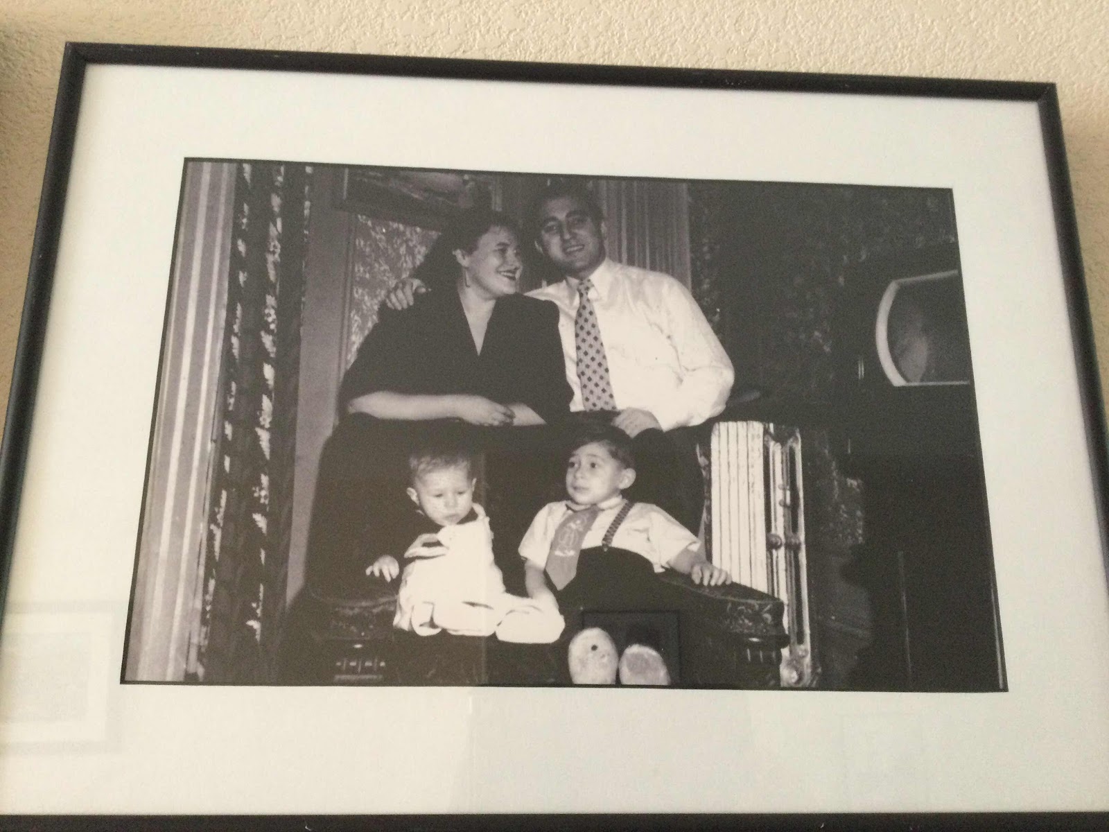
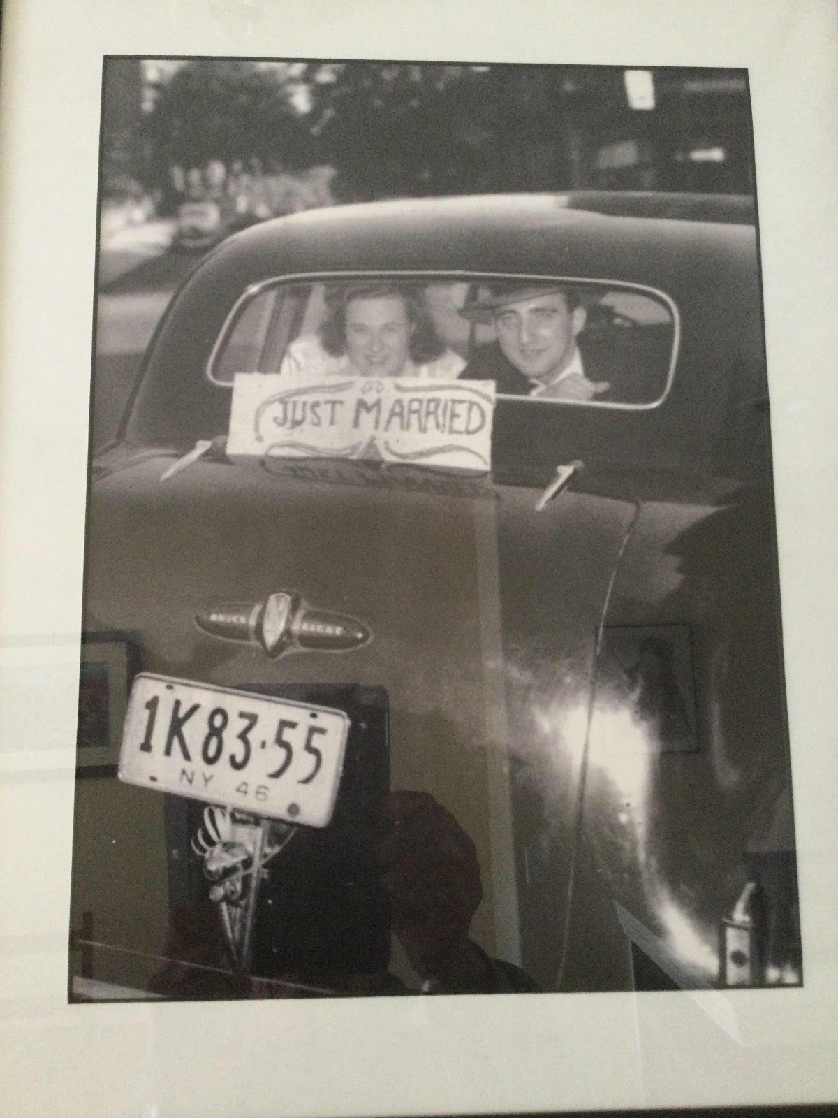
Yogi Berra
In the early 80’s...

When the bus dropped us off, I bolted up the trail. In half mile there was a mandatory self-registration kiosk for backpackers. By the time, I filled in the blanks about twenty people slid by me. Many were being guided up to the top of West Maroon Pass. I caught them when they were taking a time out. The guide smirked at me and said, “Well, there’s plenty of wildflowers on the other side of the pass!” I smirked back, “Are there more flowers than people?” His answer ? “Maybe!”

I set up camp, hauled up liters of water from a trickle of a creek and went into relaxation mode. As I turned the pages of a paperback, I noticed a steady stream of backpackers drawn toward my campsite. It was similar to a crowd of obese people eyeing an all-you-can-eat buffet, except the backpackers were leaner. The homeless veered off once they realized, the site was occupied. I never saw any wander too far away. I suppose they found a tiny bit of flat property nearby. I estimated I had fifteen neighbors within a tenth of a mile radius from my prime real estate. Fortunately, they were out of sight and quiet.

I hightailed it early the next morning while my neighbors slept in. The cool air was thick with the scent and pollen from a gaudy display of wildflowers. I took photos between sneezes. I have hay fever, but I wasn’t complaining about the “Damn flowers!”

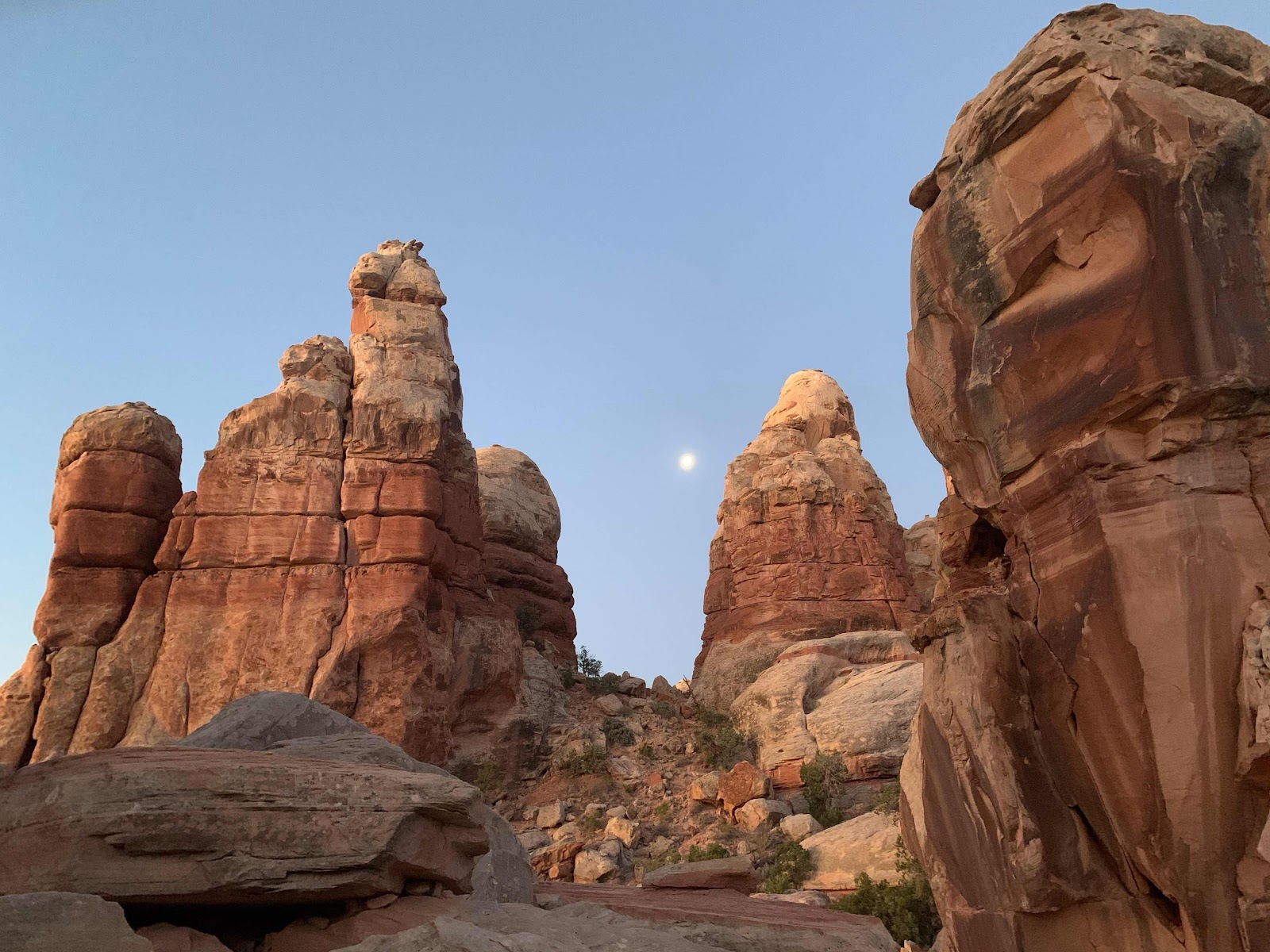
I had Frigid Air Pass (12,405’) to myself. The views of the Maroon Bells were obscured by the hazy smoke of a nearby fire. I took a few minutes to savor the lonesomeness before heading down. I was on a mission to score a campsite with a neighborly waterfall. The morning was getting old as backpackers headed up Frigid Air Pass from the counterclockwise direction. There were Boy Scout Troops, Church groups and coveys of male retirees sporting ubiquitous gray beards. Every now and then (rarely) I spotted a solitary soul. I counted over 60 campers before I found my camp.

Once again, this early bird claimed the Sotheby’s Real Estate deal of the month. A flat worn down pad with a fire ring and a few logs and soft rocks to sit upon. An unobstructed view of the waterfall was steps away. Unfortunately, so was a large communal latrine. I shot photos of the waterfall but none of the latrine.


But! What’s a campsite without running water? Well, its sort of like a breakfast burrito without green chili. Worthless. I dropped my load and ambled downhill on a rudimentary path. Eureka! A miserly-looking snowfield was melting above at the rate of one spilled IPA/minute. With a little bit of Bureau of Reclamation engineering I was able to fill all my personal reservoirs. Now, I had all the essentials of home.

Yes, the Four Pass Loop is a BUSY place.
I encumbered myself with an overloaded backpack and headed into the Maroon Bells Wilderness. It was midweek. There was a just a smattering of vehicles at the trailhead parking lot I shouldered my pack and set off on a narrow trail past Maroon Bell Lake. I was starting out on the now famous Four Pass Loop.
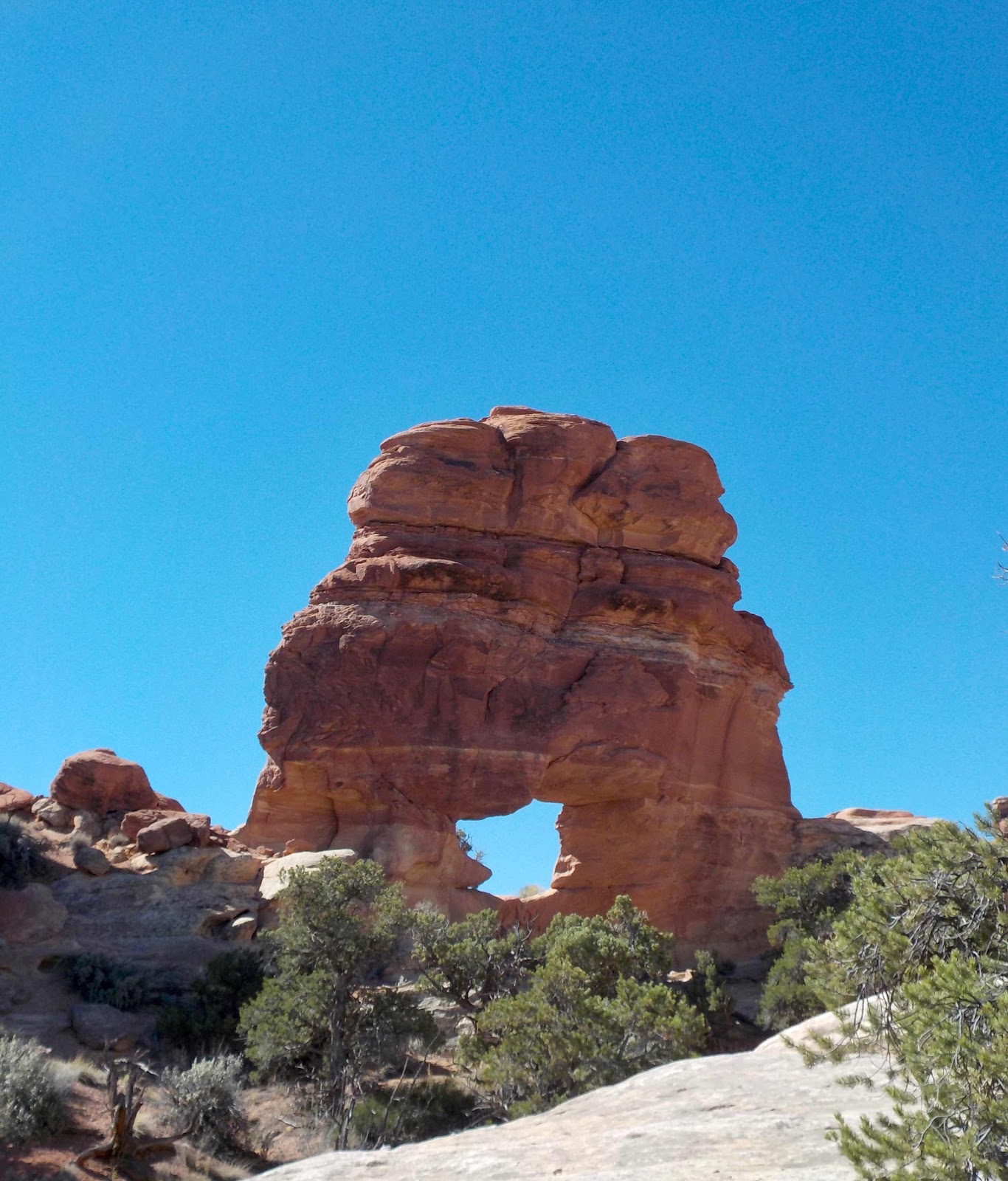
The Four Pass loop is a 27 mile, 8,115’ elevation gain jaunt over a quartet of 12,000’ plus saddles. It’s gorgeous, glorious and a great work out.
In the 80’s it was virtually devoid of humans. At that time the trail required a sharp eye not to go missing. My! my! how all that’s changed.
What’s never changed is my love for this hike. Through the years, I’ve lapped this route six times. Each time the trail was more rutted and worn down. Each time there were more encounters with Homo Sapiens. It was noticeable but not annoying.
This year, I had time on my hands, a great forecast and a desire to visit my old friend once again. I arrived around 7 am on a Tuesday. There were Ubers and Taxis ahead of me. They were disgorging backpackers with the latest REI gear and apparel at the trailhead. The parking lot was full. I backtracked down the valley and left Barley the Van at the Aspen Highlands ski area. ( $70 for three nights ). I took a bus up ( $8 round trip ). The driver was an “American Idol” wannabe. He warbled two off key songs. There was a prominent tip jar adjacent to the driver’s seat. I would have paid him to shut up. The bus was three-quarters full. The vibe was more DisneyLand than Wilderness.
When the bus dropped us off, I bolted up the trail. In half mile there was a mandatory self-registration kiosk for backpackers. By the time, I filled in the blanks about twenty people slid by me. Many were being guided up to the top of West Maroon Pass. I caught them when they were taking a time out. The guide smirked at me and said, “Well, there’s plenty of wildflowers on the other side of the pass!” I smirked back, “Are there more flowers than people?” His answer ? “Maybe!”
After passing droves of humans, I glanced down from the 12,490’ summit. On an indistinct mini-ridge line, I spotted my campsite for the night. As of that moment, it was vacant. I headed down to claim my turf.
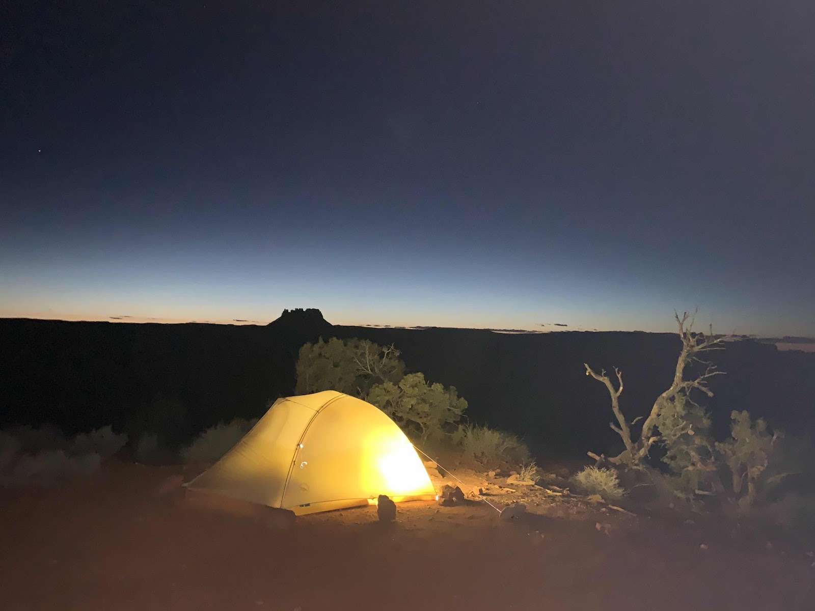
I set up camp, hauled up liters of water from a trickle of a creek and went into relaxation mode. As I turned the pages of a paperback, I noticed a steady stream of backpackers drawn toward my campsite. It was similar to a crowd of obese people eyeing an all-you-can-eat buffet, except the backpackers were leaner. The homeless veered off once they realized, the site was occupied. I never saw any wander too far away. I suppose they found a tiny bit of flat property nearby. I estimated I had fifteen neighbors within a tenth of a mile radius from my prime real estate. Fortunately, they were out of sight and quiet.
I hightailed it early the next morning while my neighbors slept in. The cool air was thick with the scent and pollen from a gaudy display of wildflowers. I took photos between sneezes. I have hay fever, but I wasn’t complaining about the “Damn flowers!”
I had Frigid Air Pass (12,405’) to myself. The views of the Maroon Bells were obscured by the hazy smoke of a nearby fire. I took a few minutes to savor the lonesomeness before heading down. I was on a mission to score a campsite with a neighborly waterfall. The morning was getting old as backpackers headed up Frigid Air Pass from the counterclockwise direction. There were Boy Scout Troops, Church groups and coveys of male retirees sporting ubiquitous gray beards. Every now and then (rarely) I spotted a solitary soul. I counted over 60 campers before I found my camp.
Once again, this early bird claimed the Sotheby’s Real Estate deal of the month. A flat worn down pad with a fire ring and a few logs and soft rocks to sit upon. An unobstructed view of the waterfall was steps away. Unfortunately, so was a large communal latrine. I shot photos of the waterfall but none of the latrine.
After setting up camp, hauling water and snacking; I donned my flip-flops and took a mosey down the trail. I found a creek side seat and watched trout go about their daily routine. A few hours swam by and I returned to camp. OY! I had five neighbors in three tents within eyesight. Luckily, they were pleasant neighbors who respected our distances. There were five billion black flies who were extremely unpleasant neighbors too. After dinner I sought fly free refuge in my tent.
I broke camp early. The loop’s toughest climb to Trail Rider Pass (12,415’) was waiting for me. As usual, I had a game plan. I lusted for a true wilderness experience. I reckoned I wasn’t the sole sociable hermit hiker in the World. Surely there would be a single-tent sized plot of land prior to the KOA-like campground at Snowmass Lake.
The climb came and went. The Forest Service had apparently upgraded the old straight-up-a-gulch approach to the pass. It was still hard but hiker friendlier. (On the old trail, one could practically touch the rocks and dirt ahead of you. That’s steep.)
I dawdled on the pass enjoying the views, the warmth and three giddy young women from Alaska. One asked me “Why don’t you move to Alaska?” I blurted out an answer, “Too much winter and too many people with too many guns.” They didn’t disagree.
I started my descent on the lookout for a solitary campsite above Snowmass Lake. About half-mile and 400’ above the Lake, I noticed a social trail curling up above the main trail. I wandered up it. YES! There it was. A beat down bare spot large enough for one tiny tent. Mine!
But! What’s a campsite without running water? Well, its sort of like a breakfast burrito without green chili. Worthless. I dropped my load and ambled downhill on a rudimentary path. Eureka! A miserly-looking snowfield was melting above at the rate of one spilled IPA/minute. With a little bit of Bureau of Reclamation engineering I was able to fill all my personal reservoirs. Now, I had all the essentials of home.
After making camp, I chilled out adjacent to the main trail. From my perch I achieved a better view of my surroundings. Besides taking in the lake, the mountains and the scree fields, I counted over fifty-five hikers in my impromptu census. Most looked weary and physically thumped. Many didn’t even notice me, even though I was a mere twenty feet from where they slowly trod. At 6 pm, I spoke to two young dudes working their way downhill. I nostalgically related about how uncrowded the hike was in the 80’s. They told me about the Four Pass Loop’s prominence on Google. (I checked. They weren’t handing me Fake News). As a goodbye, one of them said, “We’re sorry for making the hike so crowded! We wish we saw it in the 80’s too!” I smiled and thanked them just the same.
Before retiring to my tent, I did a lap around my campsite in my “invisible Emperor’s Suit.” Why? Because I could! I had my best night of sleep at that solitary camp.
The next morning, I was revved after a two Clif Bar breakfast washed down with two shots of Starbucks instant. I flew up to the top of Buckskin Pass, with lustful thoughts of real food, a hot shower and clean clothes. I passed an odd assortment of backpackers. One youngster was wearing bedroom slippers while carrying a tent in his hands. I won’t get into the blue Jean and cotton sock wearing crowd, (with heavyweight boots). I topped out, enjoyed the long distance views and snacked with the handful of calories I had left.
Down I went stepping aside for the multitudes of backpackers and trail runners heading up.
Yes, the Four Pass Loop is a BUSY place.
According to the US Forest Service estimates, visits to Maroon Lake and the surrounding area surged to a record 320,500 in 2017, up about 12 percent from summer of 2016.
Many were carrying backpacks.
Alas, it is time for this beauty to join the ranks of “The Enchantments,”(Washington) the “Wave” (Utah) and Rocky Mountain National Park. I’m writing this with a feeling of angst. The Four Pass Loop cries out for a permit system. The number of backpackers/day/trailhead must be limited.
The US Forest Service needs to do this to save the place I love.
From the start of a 2.5 month North by Northwest then South road trip,
Cheers,
Jeff