Is a funny concept.


When I moved my few belongings to Tucson, Arizona in December 2009, it didn't take me long to shake my head and think, "this ain't home." My interior attitude became "I left the Renaissance of Colorado to return to the Dark Ages of Arizona!" That state never felt right to me.
In the four years I overwintered in the Grand Canyon state, whenever anyone asked, "where do you live?"
My quick answer was, "Colorado!"
The Centennial State is where I spent the majority of my 60 years on Earth. Colorado is where I have the most friends, former lovers and now a few family members. (I'm hoping to have more Sambur's here soon!) I've climbed 50 of its 54 over-14,000 foot mountains. (I have the four human sacrifice ones left.) I've backpacked in its many Wilderness areas. The towns and roads are familiar to me.
If you named a mountain destination, I could inform you on where to go for a beer, a hotel and a breakfast burrito.
Colorado is my turf. This state feels as comforting to me as a summer's evening drinking an IPA on a brewpub's patio. Now that's comfort!
I rue the day that Sid (my Dad) passed along his cold weenie gene to his youngest son. I wish it weren't so. Searching and wandering for eternal summer is hard work!
But then again, this blog wouldn't exist without the wandering and wondering. Until I figure out a full time home, I'll just keep saying Colorado is home. BTW: Barley the Van has a green and white license plate to prove it.
This spring, summer and fall, Colorado will be my residence once again. I am looking forward to it.
Who wants to play with me here?
Cheers from Durango
Jeff
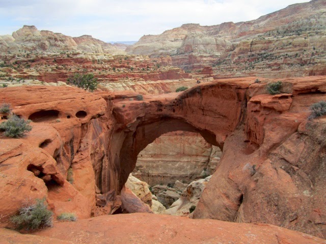
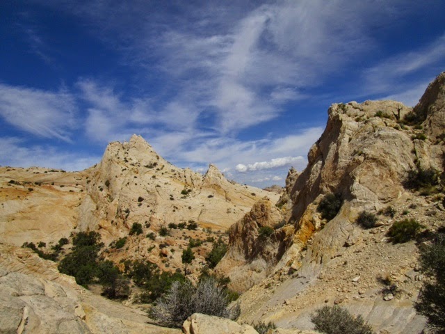
Photo explanations:
I looked into buying this fix-er-upper at Hovenweep National Monument, but the NPS wasn't selling.
Sometimes the road to forever leads to a windmill and water tank!
Final photo: That's my parting shot after my 28 year career as a Fort Collin's firefighter.